American Canyon
There is a place on the Napa River a bit more that a mile north of the highway 37 bridge, and a bit less than a mile south of the remains of the USS Corry, where a residential area abuts a short slough that connects to the river. I only know this spot from the Google satellite map; I haven't had a chance to go there yet. It seems to me that if there isn't a fence there, one could park on Catalina Circle and launch in the slough next to the road. This is probably a place to avoid at low tide.
Eckley Pier
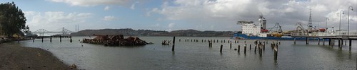
 The south side of the Carquinez Strait
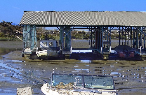
The Eckley pier is on the south side of the Carquinez Strait, west of Port Costa. It's accessible from the Carquinez Strait Regional Shoreline's Bull Valley Staging Area. There's a picnic area, lots of parking, and a fishing pier. There are rocky or gravely beaches on the Carquinez Strait to either side of the pier. There are hundreds of old piles from ruined wharves, and there are the remains of a side-wheel ferry.
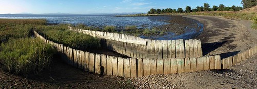
 The remains of the Garden City, and the Eckley pier
There is no boat dock. To launch here you would have to cross the train tracks (Amtrak and other trains pass frequently) and find a rock-and-pile-free spot to launch on the shore; there's a small beach next to the pier (shown in the photo above) that I think would be usable when the tide's in. The shore east of the pier is lined with rip-rap, so launching there is going to be difficult or impossible.
Conditions here are much like they are at Port Costa.
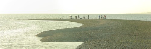
Point Pinole Regional Park
I don't think launching is allowed here, but - I think there are beaches (like the one shown below) near the north-east corner of the park that may be accessible from nearby neighborhoods.
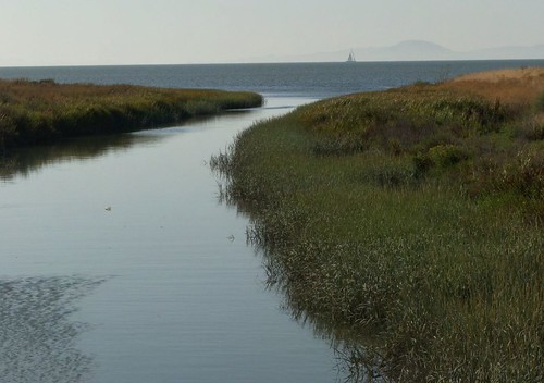
 Another San Pablo Bay beach
You can reach the beach shown above with a five-or-ten minute walk from a parking lot over asphalt and dirt trails, and over some train tracks. I'm going to go back and take another look around to see if there's street parking near there, since the little regional park parking lot tends to fill up.
Alhambra Creek
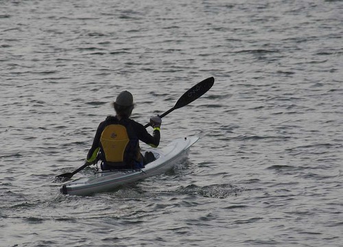
 Paddlers on Alhambra Creek
Alhambra Creek becomes a tidal slough when the tide is in, and it might be possible to put the kayak in at the creek on the south edge of the Martinez Regional Shoreline, next to the Grainger's Wharf parking lot at the end of Berrellessa Street. There's a muddy bank to cope with, so it might be a better idea to hike to the small beach on the strait (near the remains of the Forester), or to launch from the marina.
There is a restroom and running water at Grainger's Wharf.
 Bridge over Alhambra Creek at Grainger's Wharf
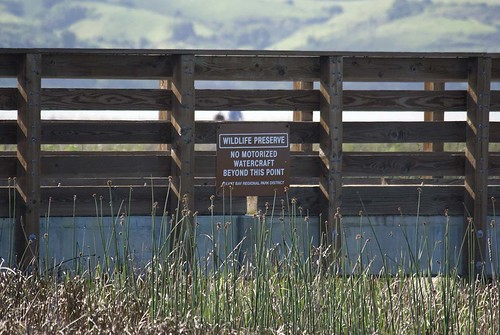 Bridge over a tiny slough adjacent to Alhambra Creek
The bridge in the picture immediately above crosses a tiny slough that joins Alhambra Creek at one end and disappears in the marshes at the other end. It seems like it ought to be possible - when the tide's in - to paddle under the bridge and a few yards up the slough, and find a spot to sit and take pictures of the birds in the tules.